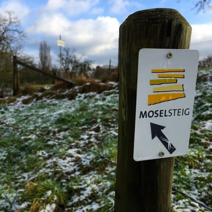
Introduction to the Moselsteig Trail along Germany's Moselle River
The Moselsteig is a must-visit for hiking enthusiasts, offering 365 kilometres of scenic trails through the stunning landscapes of Rhineland-Palatinate, Germany. Spanning 24 stages, this diverse long-distance trail follows the meandering Moselle River from Perl, a charming border town connecting Germany, France, and Luxembourg, to historic Koblenz, where the river meets the Rhine. Along the way, hikers will encounter lush forests, terraced vineyards, quaint villages, and breathtaking viewpoints.
The route combines natural beauty with cultural treasures, including ancient castles and picturesque towns. Whether seeking leisurely walks or a more challenging trek, the Moselsteig delivers unforgettable experiences, blending relaxation, adventure, and stunning views. Perfect for travellers looking for a European hiking getaway rich in history and nature.

Perfectly organised walking holidays along the Moselsteig Trail
The Moselsteig is a captivating long-distance hiking trail along the Moselle River in Rhineland-Palatinate, Germany, offering variety, history, and breathtaking landscapes. This 365-kilometer route spans 24 stages, showcasing over 2,000 years of heritage from Celts, Romans, and medieval knights. Hikers are immersed in a region rich with cultural landmarks, including castles and ancient ruins while enjoying stunning views of steep vineyards.
These vineyards boast the highest density of Germany’s oldest vines, producing world-class wines that enhance the journey. Whether strolling through serene valleys, climbing wooded hills, or admiring panoramic vistas, the Moselsteig blends nature, history, and gastronomy. Ideal for active gourmets and nature enthusiasts, this central German gem is perfect for a truly memorable hiking adventure.

